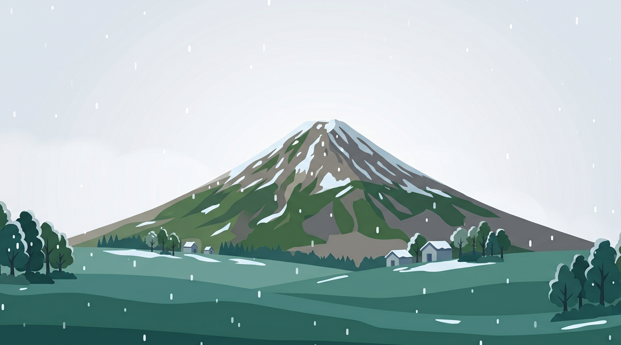
現在の鳥海山山頂は強い雪と冷たい雨が混じり、体感はマイナス5.1℃と非常に厳しい。山麓が雨で12.7℃であるのに対し、山頂では気温差が13.4℃あり、標高差による気象変化が顕著だ。日中も気温は0〜2℃前後で推移し、強い霧雨や雨が続く予報。地面は新雪が薄く積もり溶けかけ、濡れた岩稜露出と泥濘が混在する状態。特に新山周辺の岩塊は非常に滑りやすく、慎重な足運びが求められる。
防水透湿性のアウター上下は必須装備。濡れによる低体温症リスクが極めて高いため、速乾性のベースレイヤー、ミッドレイヤーのフリース、そして休憩時や非常時に備えた厚手のダウンや化繊インサレーションを携行すること。グローブ、ニット帽も複数枚用意したい。日本海からの突風が10m/sを超える場面もあり、鉾立コースなど開けた稜線では身体が煽られ、視程も2.4kmと限られるため、慎重な行動を要する。
午後にかけて降水量は減少するが、曇りとなる夕方以降も気温は低いまま推移する。自動リスク判定では顕著な警戒値は出ていないが、この状況下では行動時間の短縮が望ましい。早めの行動を心がけ、悪天が続くようであれば無理せず引き返す判断が命を守る。
山形県・秋田県
鳥海山
Mt. Chokai
2026年5月24日 06:56 更新
山頂は雪と雨。濡れた岩場に注意し低体温症対策を
Wet and Snowy Summit Conditions. Prepare for Hypothermia Risk on Exposed Ridges.
現在の気象状況 — Current Conditions
▲ 山頂エリア (Summit)
気温 Temp
-0.7°C
風速 Wind
4.2m/s
S
天候 Weather
❄️ 強い雪
体感 Feels Like
-5.1°C
▼ 登山口・山麓エリア (Base)
気温 Temp
+12.7°C
風速 Wind
5m/s
SSE
天候 Weather
🌧️ 雨
標高 Altitude
499m
山頂の3時間予報 — Summit Forecast
09:00
0°C
4.4m/s
S
💧 1.2mm
(80%)
12:00
+2°C
3.5m/s
S
💧 2.5mm
(47%)
15:00
+2°C
2.8m/s
S
💧 0.1mm
(39%)
18:00
+3°C
2.2m/s
SW
💧 0.1mm
(31%)
21:00
+3°C
2.7m/s
SW
💧 0mm
(8%)
00:00
+3°C
3.4m/s
WSW
💧 0mm
(8%)
03:00
+3°C
3m/s
WSW
💧 0mm
(0%)
気象分析 — Analysis Report
日本語
コンディション概ね良好 — 通常の山岳安全対策を実施すること
English
Conditions generally good — Conduct standard mountain safety measures
Current conditions on Mount Chokai summit are harsh, with heavy snow mixed with cold rain, and a wind chill of minus 5.1 degrees Celsius. While the base experiences rain at 12.7 degrees Celsius, the summit shows a significant temperature difference of 13.4 degrees, highlighting the dramatic weather change with altitude. Throughout the day, temperatures are expected to hover around 0 to 2 degrees Celsius, with persistent heavy drizzle and rain. The ground is a mix of thin, melting new snow, exposed wet rock ridges, and muddy sections. Particularly, the rock formations around Shinzan are extremely slippery, requiring careful foot placement.
Waterproof and breathable outer layers are essential equipment. The risk of hypothermia due to getting wet is very high, so carry fast-drying base layers, a fleece mid-layer, and a thick down or synthetic insulation jacket for breaks or emergencies. Multiple pairs of gloves and a knit cap are also advisable. Gusts exceeding 10 meters per second are possible from the Sea of Japan, and on exposed ridges like the Hokodate Course, hikers may be buffeted by wind, with visibility limited to
Waterproof and breathable outer layers are essential equipment. The risk of hypothermia due to getting wet is very high, so carry fast-drying base layers, a fleece mid-layer, and a thick down or synthetic insulation jacket for breaks or emergencies. Multiple pairs of gloves and a knit cap are also advisable. Gusts exceeding 10 meters per second are possible from the Sea of Japan, and on exposed ridges like the Hokodate Course, hikers may be buffeted by wind, with visibility limited to
山岳ガイド — Mountain Guide
概要 Overview
山形県と秋田県の県境に位置する標高2,236mの独立峰。日本海に裾野を伸ばす山容から「出羽富士」「秋田富士」と呼ばれる東北を代表する活火山。山頂付近は岩稜帯と高山植物のお花畑が広がる。
特徴・地形 Features
独立峰のため山頂からの展望は360度のパノラマ。新山(しんざん)と呼ばれる溶岩ドームが最高地点で、岩塊の積み重なる急斜面を慎重に通過する必要がある。雪渓が秋まで残ることが多い。
ベストシーズン Best Season
7月〜9月が一般登山シーズン。お花畑のピークは7月中旬〜8月。残雪・初冠雪の境界期は装備判断に注意。
主要ルート Main Routes
鉾立(象潟口)コース、湯ノ台コース、矢島口コース、吹浦口コース。鉾立は最も一般的。
注意点・危険箇所 Cautions
新山周辺の岩塊地帯は浮石・滑落リスクが高い。日本海からの濃霧・強風が頻発。雷雨・低体温症対策必須。
アクセス Access
JR羽越線象潟駅・酒田駅からバスで各登山口へ。マイカーは鉾立まで車道あり。
※ 本ガイド情報は一般的な参考資料であり、最新の登山道状況・規制情報は各自治体・登山口の公式情報をご確認ください。